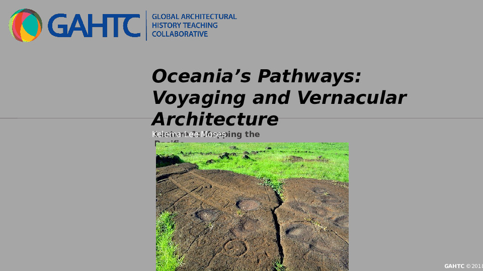
This lecture introduces Oceanic voyaging as a social and cultural mode of interpreting space and place. A study of ancient voyaging traditions in Hawai‘i and Aotearoa (New Zealand) challenge Western cartographies of the Pacific that have for centuries defined the region by island size and its people by phenotype and race. First, we will explore ancient wayfinding as an intentional enterprise that encouraged long-distance, two-way crossings. Next, we will discuss wayfinding as a central aspect of Oceanic identity by examining maps, models, and traditional Polynesian voyaging vessels. Taken together, canoe construction and the proliferation of wayfinding knowledge played an integral role in sustaining Pacific island communities for centuries. Finally, we will consider the contemporary role of the Polynesian Voyaging Society in (re)instituting wayfinding knowledge within Pacific island culture, history, and identity.
Please review and agree to the following terms and conditions to proceed to your download:
Click the link below to download this file!
()
Your account is awaiting verification.
Your account has not yet been verified by a GAHTC administrator. Once your account is verified, you will
be able to download course materials. You will be notified by email when your account has been verified.
In the meantime, you can continue to search the site and add resources to your bundles. Thank you!